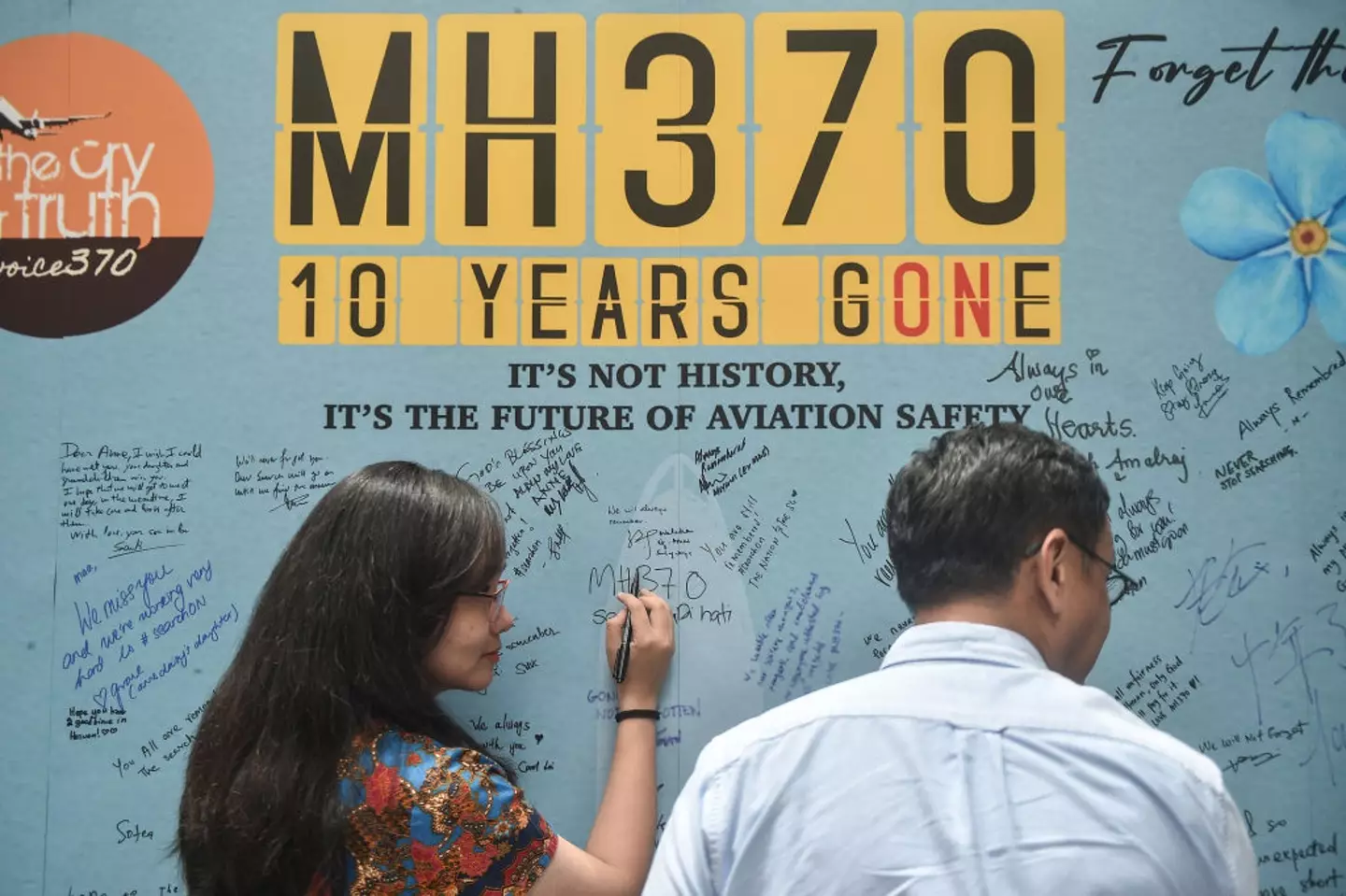
Deep-sea explorers hope to find wreckage of missing flight MH370 ten years after it vanished
Deep-sea explorers are hopeful they may finally find the wreckage of the missing MH370 flight, more than a decade after it disappeared.
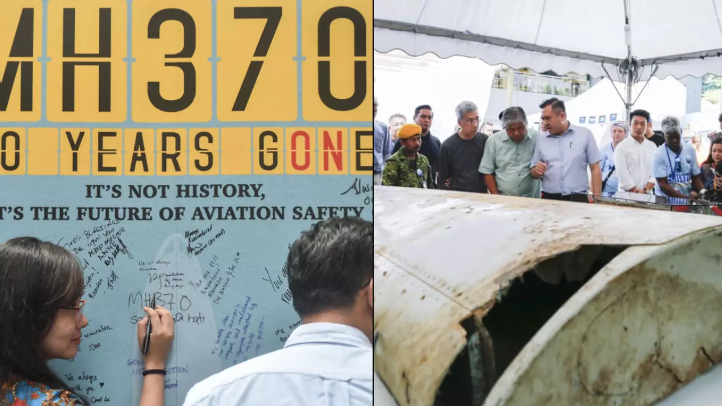
On March 8, 2014, Malaysian Airlines flight MH370 took off from Kuala Lumpur, Malaysia, heading for Beijing, China.
After takeoff, MH370 mysteriously vanished from flight radar, sparking one of the biggest mysteries in modern aviation history.
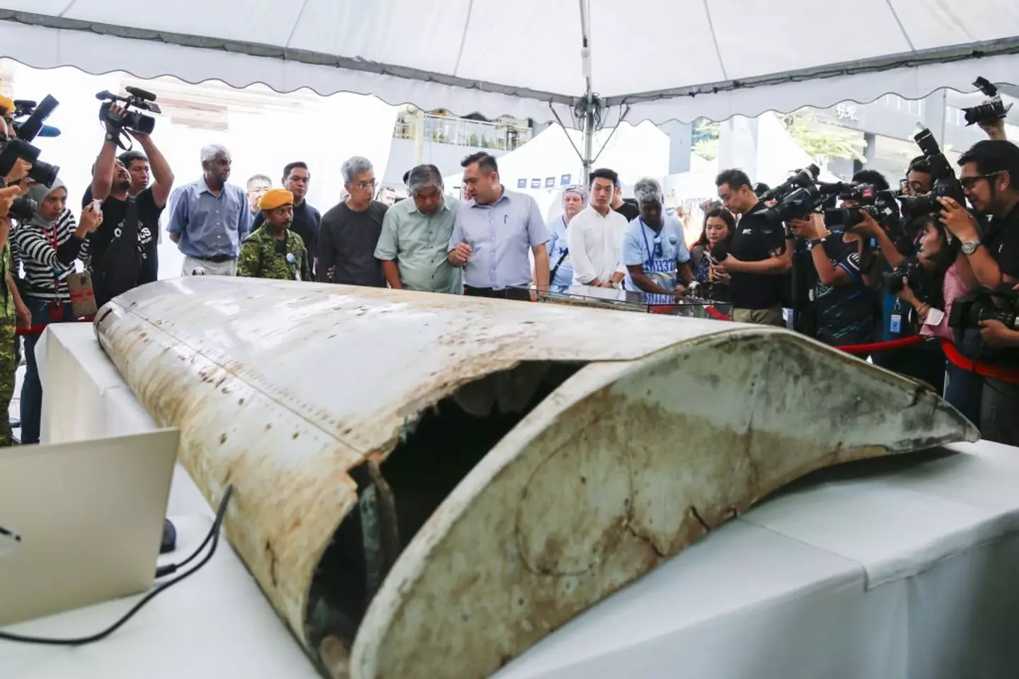
The plane’s last known location was in the Andaman Sea, tracked by military radar. What happened next remains unknown, but the Air Accidents Investigation Branch (AAIB) later concluded that MH370 likely crashed into the Southern Indian Ocean, about 2,500 km west of Perth, Australia, tragically claiming the lives of all 239 passengers.
While extensive searches have found aircraft debris, the lack of an official explanation has led to numerous theories circulating online. However, a U.S. deep-sea explorer believes he might finally solve the mystery.
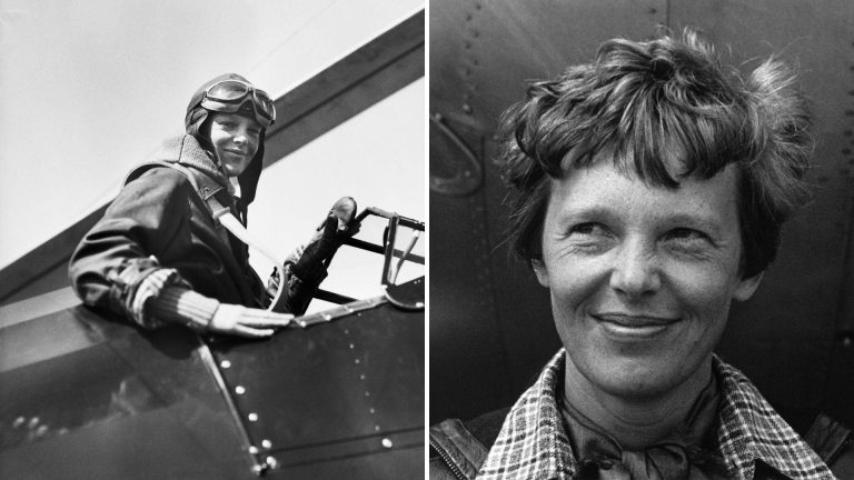
Tony Romeo, CEO of Deep Sea Vision, made headlines earlier this year when he claimed to have found the remains of Amelia Earhart’s plane, which vanished in 1937.
Now, he believes he can do the same for the missing MH370.
In a March interview with the Australian TV show *60 Minutes*, Romeo, a former Air Force intelligence officer, expressed confidence that Deep Sea Vision could make a breakthrough. He explained that his team would use Hugin 6000 underwater drones to search the ocean floor. “I think we can find flight MH370,” Romeo said. “We’ve proven our credibility, competence, and ability to use advanced techniques.”
Romeo’s company is reportedly preparing a proposal to submit to the Malaysian government for the search. “I believe the Malaysian government wants answers,” he added. “It’s not fair to let such a massive tragedy remain unresolved. The families deserve closure.”
Explaining how the drone would work at the ocean’s bottom, Romeo said, “The drone flies 50 meters above the seafloor, moving back and forth in a grid pattern.
It has large cameras, capturing everything it sees. The drone collects and stores data, then resurfaces. We plug in a thumb drive, pull the data, and review on a computer exactly what it recorded.”
